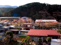
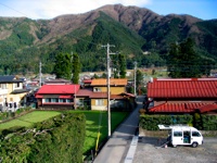
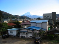
Nishikatsura Town (西桂町)

Where is Nishikatsura?

Nishikatsura is in a beautiful, green, river valley. It's about 60 miles Southwest of Central Tokyo. It's in Southeastern Yamanashi 'mountain pear' Prefecture, which is famous as a fruit-growing region (lots of peaches, grapes, and some pears), is also noted for tourism (to Mt. Fuji and the five big lakes around the northern end of it), as well as for wine and sake-making, and textile production. Further, the region is known for its clean, fresh water.

Nishikatsura on map of Japan:

Remember, Nishikatsura is a tiny village of 5,000 people. I've added it to these maps solely for the purposes of this webpage. Don't confuse it with the huge cities listed on these maps.

Click for larger version

Original Map Image, from www.primap.com

Nishikatsura on map of Central Honshu:

Nishikatsura is centrally located on Honshu Island, between Japan's two largest population centers: the Kanto Plain, on which Tokyo lies, and the Kansai Plain, where Osaka and Kobe are located.

Click for larger version

Of the ten largest cities in Japan, seven are here, and about 2/3 of Japan's 125,000,000 people live within the boundaries of this map.

Japan's 10 largest cities are:
1. Tokyo
2. Yokohama
3. Osaka
4. Nagoya
5. Sapporo (see wide map)
6. Kobe
7. Kyoto
8. Fukuoka (see wide map)
9. Kawasaki
10. Hiroshima (see wide map)

Nishikatsura on map of Yamanashi Prefecture:

Populations of these selected Yamanashi cities (appx):
Kofu: 250,000
Fujiyoshida: 50,000
Otsuki: 30,000
Kawaguchiko: 25,000
Nishikatsura: 5,000

The reason that Hachioji Station is listed on these maps is that it's the Western edge of Tokyo's Megalopolitan Sprawl. Hachioji is one of the cities which make up The City of Tokyo. Just to the West of Hachioji, the Kanto Plain comes to an abrupt end, and the foothills of Yamanashi Prefecture appear.

Original Map Image, from web-jpn.org

Here's how the map on the left fits into the map above.

Yamanashi on Central Honshu

Click for larger version

Nishikatsura Photos

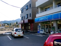
Lawson's & Aizawa Meat Shop


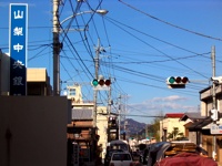
Rt. 139 at Yamanashi Chuo Bank


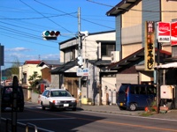
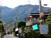
Takao Sushi; sign for Mitsutouge Train Station


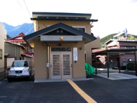
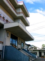
Our Brand New Police Station


City Hall


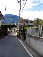
Train Overpass


Road to Mitsutouge


Train in front of Middle School


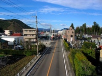
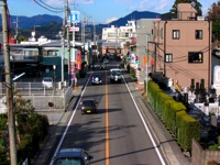
Looking North at "Downtown"


More "Downtown"


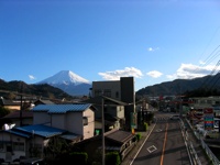
Looking South at Mt. Fuji from Pedestrian Overpass


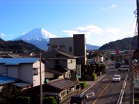
More Mt. Fuji from Pedestrian Overpass


Looking West at Middle School amid blooming Sakura


Looking East from Pedestrian Overpass


Typical Nishikatsura Houses; Mt. Fuji

Mt. Mitsutouge from the Teacher's Housing


Mt. Mitsutouge


Nishikatsura Elementary School


Looking NE across the Elementary School's Playground


A house on a hill


Teacher's Housing


Across the valley; from halfway up Mt. Mitsutouge


A country road weaves among the rice fields


Mitsutouge Train Station (三つ峠駅)


Looking West in the morning


Looking North toward Tsuru & Otsuki


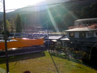
Looking West across the train tracks from the middle school


Hold on, let me try something:
These four shots were all taken from essentially the same spot: from the top of the Pedestrian Overpass in front of Nishikatsura Middle School:

Looking North:


Looking West:          Looking East:


Looking South:


Links

Nishikatsura's page on Wikipedia
Fujiyoshida's page on Wikipedia
Mt. Fuji's page on Wikipedia
Yamanashi's page on Wikipedia
Nishikatsura-cho on Flickr Places
You can see the weather in Fujiyoshida, by clicking on this link: Mt. Fuji Cam
Our Middle School Home Page (in Japanese)
Nishikatsura Town Home Page (in Japanese)
Current Weather in Kofu (the capital of Yamanashi) from weather.com
Yamanashi International Association page
YETI Japan (Yamanashi Exchange Teachers International)
www.pref.yamanashi.jp/english/
Yamanashi Kotsu Bus
yamanashi2
Yeti Japan
Fuji Go-ko Cameras & Info